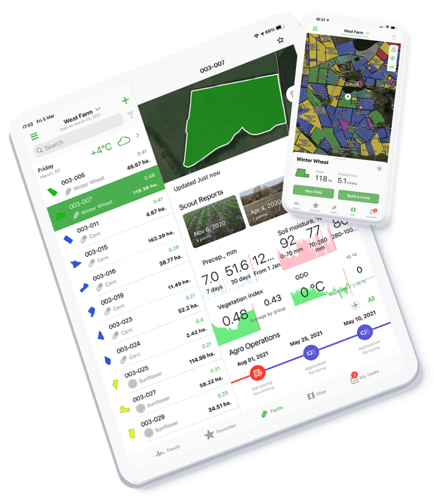
- Monitor all your fields in one place
- Get real-time updates on current field and crop conditions
- Receive immediate notifications if something’s wrong
- Track changes even if you’re offline
- Forecast your harvest
Agro
Telematics
Follow vegetation maps of all your fields and quickly react to any issues.
Determine potential yield and create a crop plan for the next production season.
Retrieve data from dozens of satellite systems, drones, weather stations, and different sensor types.
Gather main soil characteristics in one system: surface temperature, soil moisture at tree depth, soil types, soil analysis and texture maps, and more.
Track history of changes in crop yield estimates and establish the causes of losses.
View vegetation, precipitation, soil moisture, and weather history for up to 10 years.
Agro
Telematics
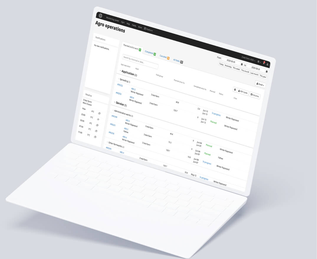
Develop a daily and hourly plan for each machine.
Access your field and machinery data from any point with internet coverage.
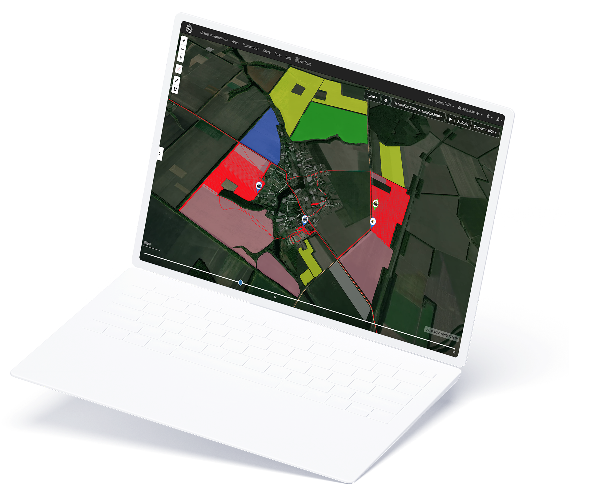
Follow each machine with a full history of their movement, speed, fuel consumption, and harvest data.
Configure individual settings for each sensor on your machinery for collection and analysis.
Track work progress in real-time mode.
Get alerts for speeding, working without a task, unauthorized unloading, geo-fencing, fuel consumption, no signal, and many others.

12 469 693
hectares of
new fields
added in 2020

+82%
added
agricultural operations

+20%
scouting reports
made by agronomists

1,5
times more photos
of fields, plants, diseases, pests and other threats

146 557
units
of machinery,
equipment
and trackers controlled by users

1 190 039
alerts with
1,5 times
more recorded and timely identified problems and violations

